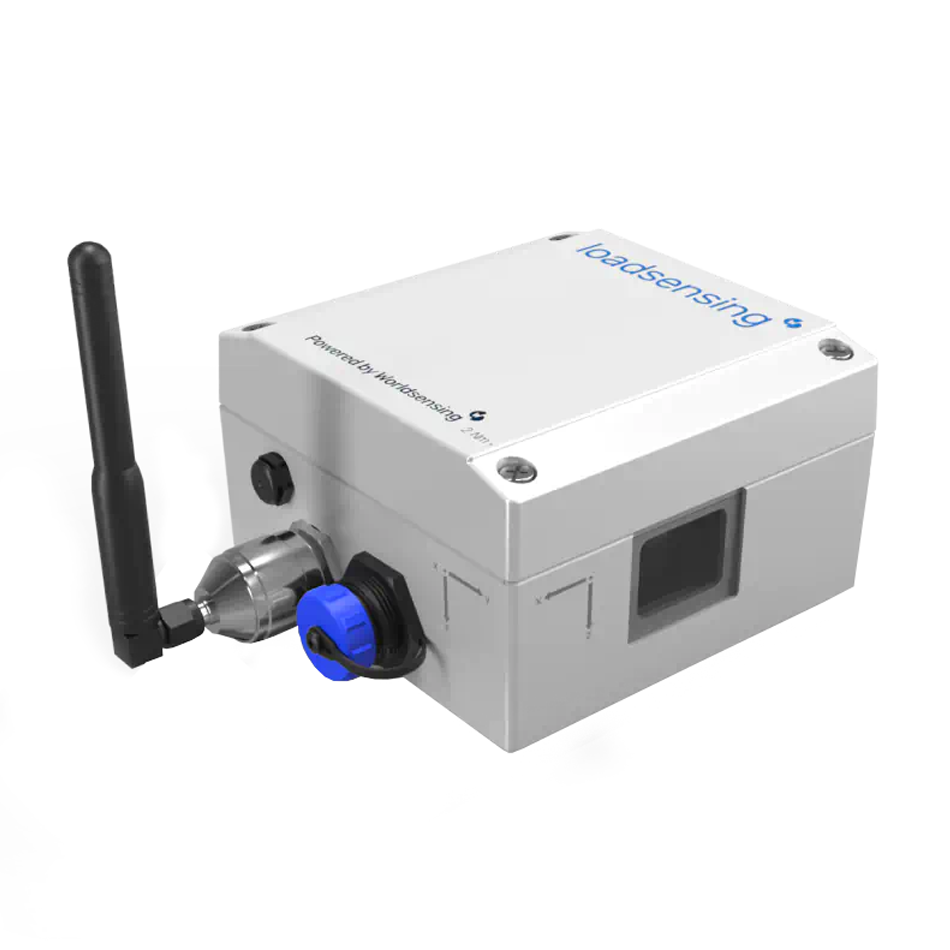
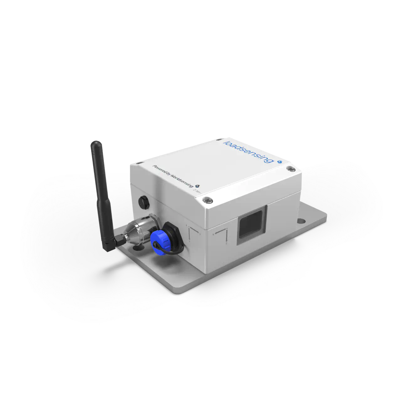
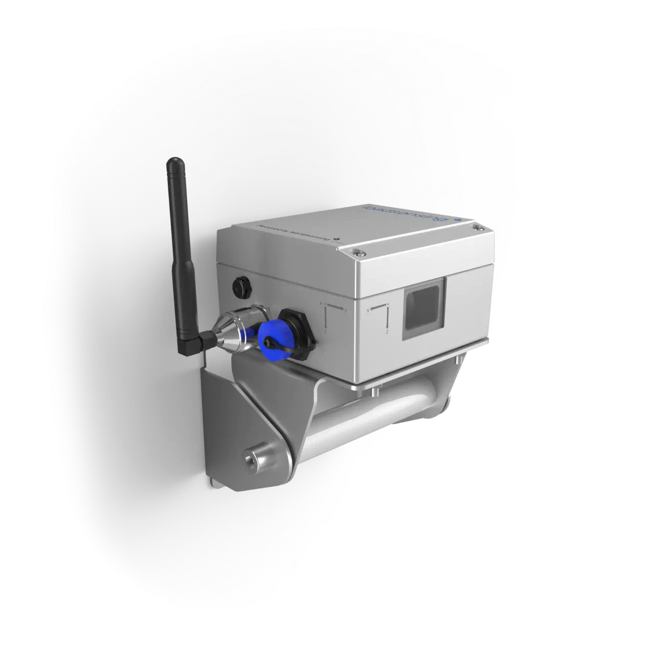
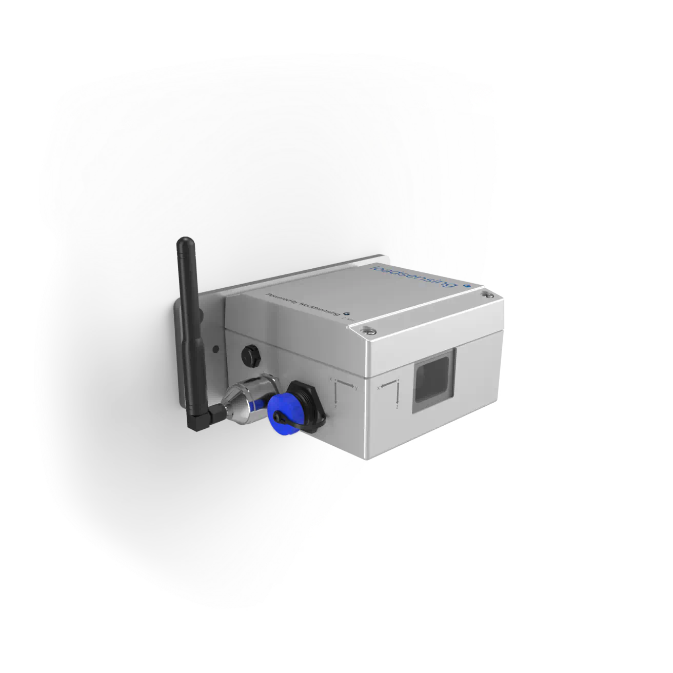
Brought to you by Specto Technology, Loadsensing’s Wireless Laser Tiltmeter is a cutting-edge, non-contact sensor designed to deliver precise, long-distance tilt measurements—ideal for projects where direct mounting is impossible or access is restricted. Unlike traditional inclinometers, the Laser Tiltmeter provides remote monitoring of angular displacements without touching the structure, making it a game-changer for real-time deformation tracking across hard-to-reach assets.
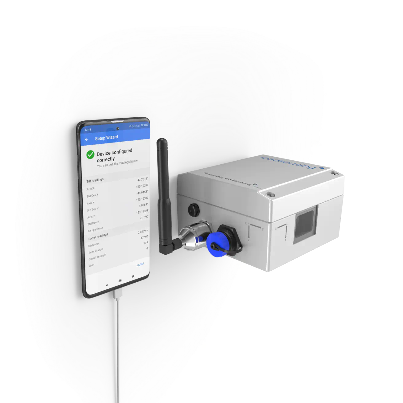
With seamless integration into Loadsensing’s wireless data logging system, this sensor helps you enhance safety, reduce field visits, and gain better visibility into structural behaviour over time.
Product Features
Long-range, non-contact monitoring: Measures tilt and rotation from up to 150 meters away using Class 2 laser technology.
Robust & accurate: Delivers angular accuracy of ±0.005°, with repeatability and long-term stability.
Integrated wireless connectivity: Pairs with Loadsensing Wireless Data Logger for remote data collection and transmission.
Fully autonomous operation: Battery-powered with up to 5 years of life depending on measurement interval.
Built for harsh environments: IP65-rated enclosure ensures performance under extreme weather conditions.
Simple installation: Quick and easy setup—no structural modifications or drilling required.
Product Benefits
Remote access to critical data: Monitor tilt in real-time from a safe distance without needing to enter dangerous or restricted areas.
Cost-effective asset management: Reduce the need for manual inspections and minimize operational disruptions.
Enhanced safety and compliance: Early detection of movement in walls, slopes, tunnels, and other infrastructure for proactive intervention.
Reliable in tough conditions: Designed for the rigors of outdoor and industrial environments, including mining and construction sites.
Supports data-driven decisions: High-precision measurements support predictive maintenance and risk assessment strategies.
Suitable for unattended, large-scale projects
Very low maintenance equipment due to its robustness and low-power consumption.
Provides complementary data for existing geospatial monitoring when high precision and robustness is needed