Leica GeoMoS
Product Information
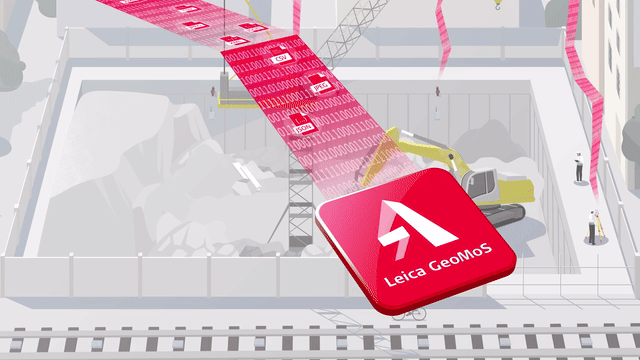
Leica GeoMoS: Flexible, Scalable Monitoring for Complex Projects
For monitoring professionals who need to quickly assess and respond to the evolving demands of modern projects, Leica GeoMoS delivers unmatched flexibility and reliability. Its scalable software, customizable options, and diverse licensing packages adapt to the unique needs of any user. Whether for continuous or periodic monitoring, Leica GeoMoS ensures the highest level of accuracy and performance.
Backed by over 20 years of monitoring expertise and a team of highly experienced engineers, Leica GeoMoS is a trusted partner for tackling a wide range of monitoring challenges.
Seamless Data Integration
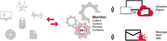
Leica GeoMoS connects effortlessly to any monitoring sensor or software, whether from Leica Geosystems or third-party providers. Its flexible communication options enable seamless sensor control, instant data storage, and real-time analysis. The GeoMoS API allows direct integration of monitoring data into your own systems, while automated data streams and open-interface standards ensure powerful and intuitive sensor fusion. GeoMoS Monitor provides continuous measurement cycles, sensor scheduling, and centralized data storage in a single SQL database.
Advanced Core Software
Accurate and reliable acquisition of geodetic, geotechnical, environmental, and other sensor data is ensured through advanced outlier detection, data validation, filtering, and automatic remeasurement. Active system status monitoring and critical observation limit checks trigger instant notifications via email, SMS, or alerts, keeping key personnel informed. By combining data from multiple sensors and using advanced mathematical computations, Leica GeoMoS guarantees superior monitoring stability.
Imaging for Enhanced Insights
Leica GeoMoS Imaging extends monitoring capabilities by providing image-based documentation, inspection, and detection from remote locations. Features like live view with joystick control and continuous visual records enhance productivity, enabling users to make fast, well-informed decisions.
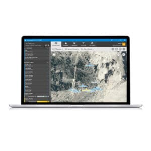
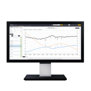
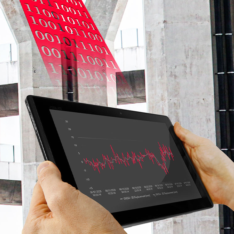
Powerful Visualization & Reporting
The GeoMoS Now! service offers a fully customizable, user-friendly reporting and visualization platform that can be installed locally or accessed via the cloud. Gain real-time insights into project status with interactive graphs, images, maps, tables, and deformation scans—no web design expertise required. Securely integrate project visuals into any web page via the GeoMoS Now! API, assign multiple viewers, and distribute customized reports to key stakeholders effortlessly.
With its industry-leading accuracy, flexibility, and automation, Leica GeoMoS empowers monitoring professionals with the tools needed to confidently manage even the most demanding projects.